Last update March 4, 2007
Dawn Mine Loop, Altadena
If you want a little different trail run/hike adventure, then try this 10 mile loop and explore an over 100 year old abandoned gold mine. This clockwise loop takes a more runable route, but if you want to be even more adventureous, you can rock hop up Millard Canyon and about 21 stream crossings to the mine. There are some interesting alternatives, history and information at Dan's Hiking Pages.
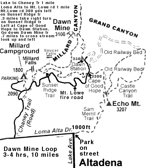
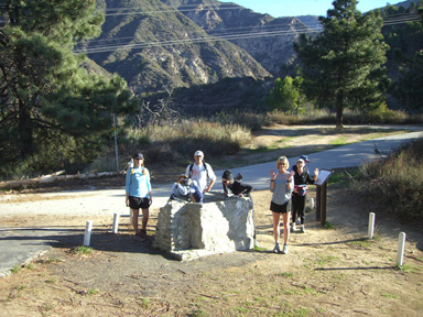
The start is from the very top of Lake Av in Pasadena. To get there, from the 210 take the Lake Av off ramp and go north toward the mountains til you cant go any farther (at Loma Alta Dr,). Park on Lake Av. or Loma Alta. Thomas Map 536-A3.
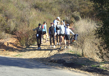
We suggest that you take plenty of water, especially if it is warm as there is no water available on the loop. Most will take between 3 and 4 hours depending on how long you stay at the mine. If you dont have a camel back with sufficient capacity to last you 4 hours, drink 10 minutes before the start and take two bottles with you and maybe a third in your hand on hotter days. Bring your favorite snack or energy food and one or two Succeed or salt tablets. It is also advised to have a FRS walkie talkie in case you get lost or injured on channel 6.0.
The loop starts by going down hill on Loma Alta about a mile and turning right on Cheney Trail which is the paved road to Millard Canyon.
As you go up the road you will see an unmarked dirt trail going up the ridge at the first switchback - take that dirt trail.
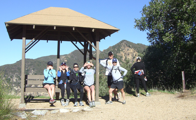
Once on top of the ridge past the water tanks, you will be at a trail junction with a capped off water trough. Turn right and go up the paved Mt. Lowe fire road about 300 yards and look for and take the Sunset Ridge Trail on the left. After about a half mile on this single track trail there will be a junction. Take the right trail and continue up the Sunset Ridge Trail. You will arrive about 2 miles later back on the paved Mt. Lowe fire road at the Mt. Lowe Railway Cape of Good Hope station. Continue up the paved road to the Dawn Mine station where the single track trail goes down into the canyon.
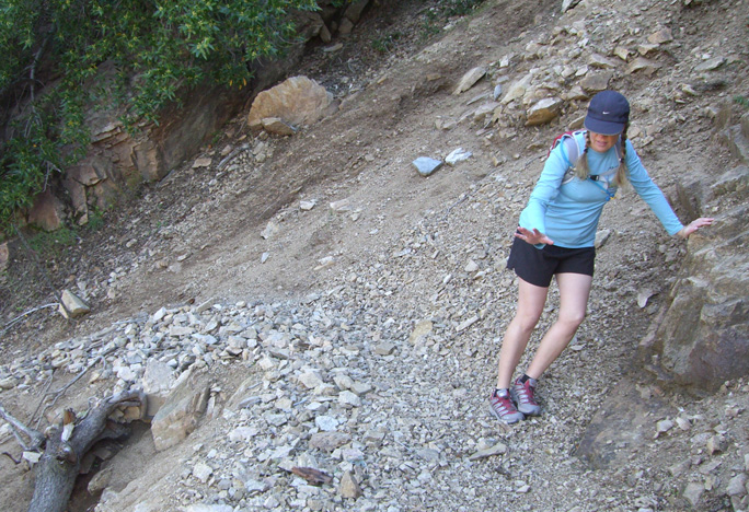
The Dawn Mine trail drops 400 ft in .7 miles and is not as well maintained as the other well traveled trails like Sunset Ridge. There are a few slide areas, but they very passable if you take it easy and are careful.
As you get down near the bottom of the canyon, there is a trail junction. If you go straight, you will go up the canyon to the Tom Sloan trail to the Alpine Tavern and Mt. Lowe Camp. Instead, make a hard left and continue down, but look for another trail junction about 30 yards further going down on the right to the stream.
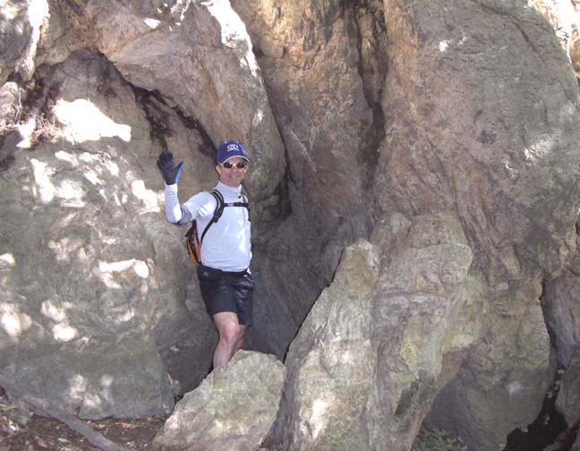
Trees block the mine area until you cross the stream and look up to the left. There you will see two metal beams sticking out. Go up past the beams and look for the entrance behind a rock. If you want to explore the mine, be very careful, have a good flashlight and people with you all keeping track of each other.
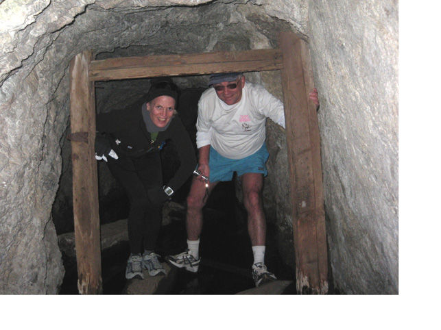
After rains, there may be a good bit of water just after you enter. You may be able to wade to the tunnel junction about 25 ft in but be careful of a deep vertical shaft on the right that can be under the water and not visible.
When you leave the mine, retrace your path up the Dawn Mine trail to Dawn Station, down the Mt. Lowe fire road to the Cape of Good Hope station. Turn left on the old rail bed and go to Echo Mountain. At Echo, turn right on the Sam Merrill Trail to decend back down to the Top of Lake Ave.
For those interested in the history of the Mt. Lowe area check out the Mt. Lowe Preservation Society and the Mt. Lowe Railway Historical Committee web sites. There is an interesting map on the Historical Committees web site.