Last update June 1, 2022
Return to: Run Routes and Maps - Foothill Flyers Home Page Flint Canyon Trail - Pasadena
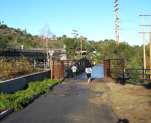
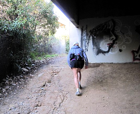
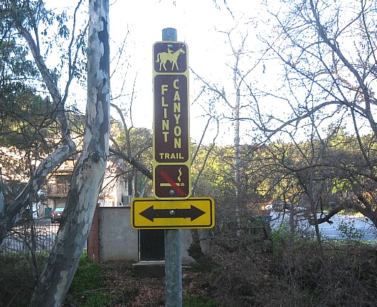
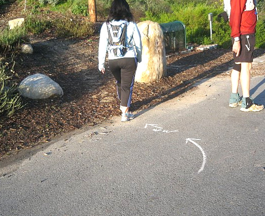
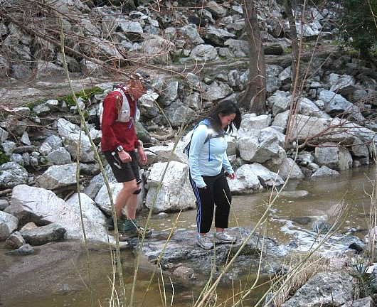
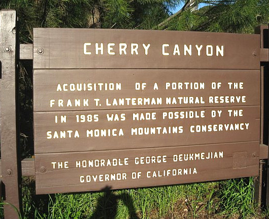
You can best get the start of the Flint Canyon Trail by parking at Oak Grove/Hahamongna Park. Take Berkshire off the 210 and go east to Oak Grove Dr. Turn left and then right into the park at Foothill - Google Map. The parking area along the fence bordering Oak Grove Dr. is only 2 hrs., but if you are planning on extending into Cherry Canyon and need more time, turn left and go down the hill, the Frisbe Golf parking lot does not have a time limit. Starting from the turn around loop at the end of the parking, follow the road inside the park that parallels Oak Grove Dr until you come to the Flint Canyon Trail head sign by a rock and just west of the wood bridge. See the photos and information at the LA County Flint Canyon trail web site and the map below. If one of our Wednesday night trail runs, turn around after 40 minutes or Hempstead Rd and the start of the Cherry Canyon trails if you get there first. Distance is about 2 miles one way. If you get lost, the trail parallels Birkshire to the South and Foothill to the North.
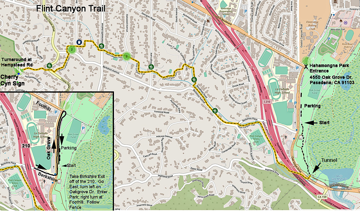
Click on map to enlarge and print out.