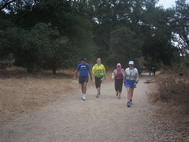
This is an alternative to running the Eaton Canyon Falls trail on a Wednesday night run or a short week end trail training run of almost 6 miles round trip.
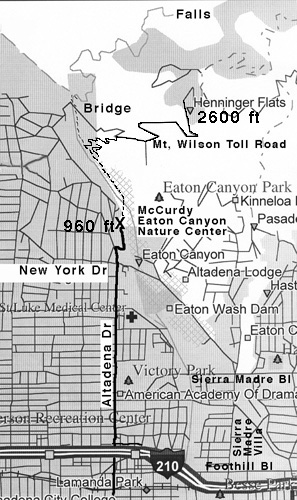
The start is from the Eaton Canyon Nature Center in Pasadena. Going north, the Nature Center entrance is off of Altadena Dr. just past New York Dr. about 50 yards on the right - Thomas Map 536-E7. From the 210, go north on Altadena Dr. Park at the far North end of the Eaton Canyon Nature Center parking lot if you can.
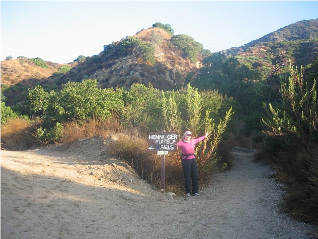
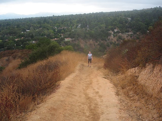
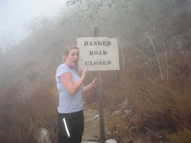
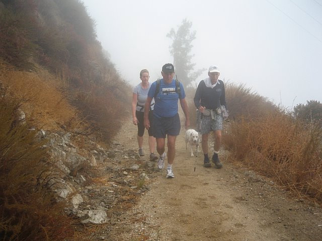
From the Nature center going up the wash you will cross over the stream bed and follow the dirt road on the east side of the canyon. After about .4 miles there will be a sign pointing up the canyon for Eaton Canyon Falls and to the right for Henninger Flat. This single track is the steapest part of this run and zig zags up to the Mt Wilson Toll Road. Once on the toll road, follow it up 2.5 miles to Henninger Flat. There are a few places near the top that were washed out or had landslides where you must be careful traversing the steep single track sections.
There are bathrooms, picnic area, drinking fountain (may not be operating so take water) and a museum at Henninger. Good views of the west San Gabriel Valley.
Some links: Hiking to Henninger Flat. If you want longer, you can continue up the Toll Road and go out to the USFS helipads for an extra mile or so or on up 7-8 miles to Mt Wilson. Take a lot of water if going to Mt. Wilson, the only water will be at the north end of the parking lot on top.