Check out the great Trail map at the Scenic Mt. Lowe Railway Historical Committee's web site.
See Maria and Robert Vangilders photos from a run last October 2010.
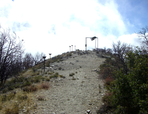
Mt. Lowe is the 5600 ft peak just north of Echo Mountain. Starting from the top of Lake Ave in Altadena, there is 3800 ft of climb via the Sam Merrill Trail to get to the peak. On top and along the Upper Sam Merrill and Mt. Lowe West trail you will find a group of sight tubes aimed at various peaks and land marks similar to Inspiration Point. In fact the views are spectacular.
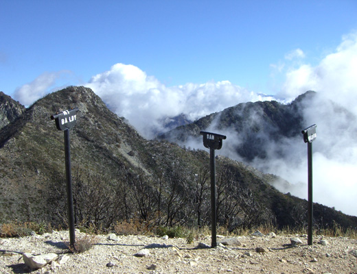
These sight tubes look at Mt. Markham across the canyon and all the way to Mt. Baldy - blocked by the clouds this day.
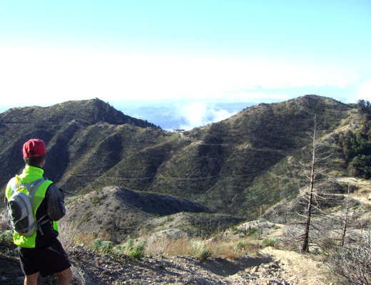
Looking to the south, down below the peak and in the center of the photo is the Inspiration sight tubes pavilion. On right, much of the shade structure and surrounding brush were destroyed by the Station Fire.
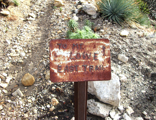

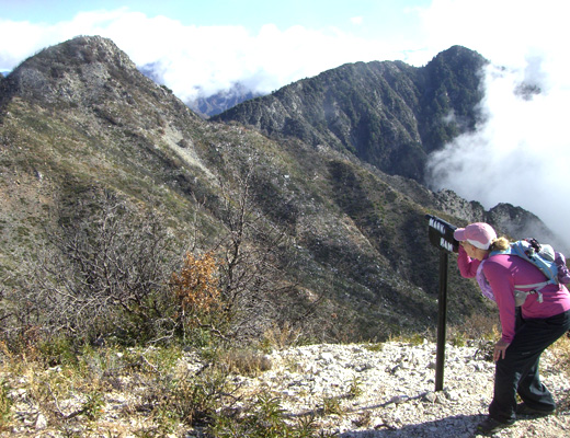
These signs took a beating in the fire. The East trail sign is about 100 yards up the Mt. Lowe Truck road on the right from the junction with the Inspiration, Idylhour and Sam Merrill trails. The East Mt Lowe trail is in much better shape and easier to negotiate than the West trail. Infact, we suggest taking the East trail up to the top, then coming back down it about 1/3 mile and turn left at the junction to go back down to the road coming out a half mile below Mueller Tunnel rather than take the rocky and loose West Mt. Lowe trail.
